
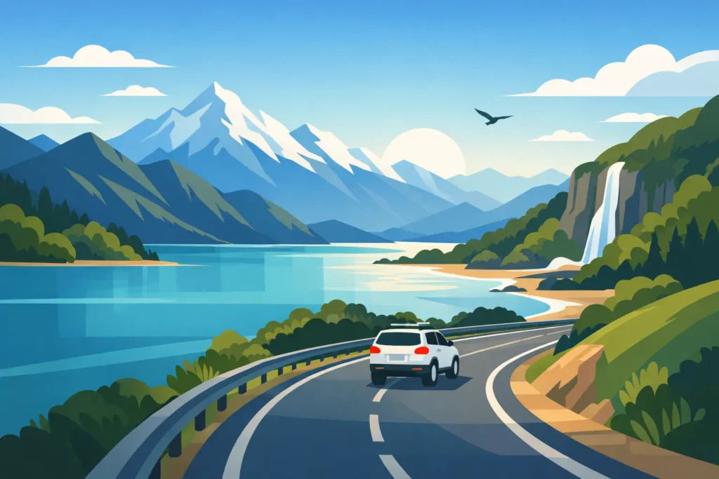
South Island roads are not built for rushing. A route that looks short on a map can take most of a day once you add photo stops, one-lane bridges, a swim, and the simple fact that mountain weather has its own plans. If you are searching for the best scenic drives south, this is the real version: routes worth the fuel, with enough time left to enjoy them.
For a campervan trip, the best drives are the ones that give you options. You can stop when the light changes, make coffee beside a lake, and stay an extra night when a place is better than expected. Start with a loose plan, then leave room for the road.
The best scenic drives South Island travelers remember
Christchurch to Lake Tekapo via Rakaia Gorge
This is a strong first-day route from Christchurch if you want to trade city streets for big open country without attempting too much. Rather than taking the fastest inland line, head toward Rakaia Gorge and follow the turquoise river through the foothills. The road is easy-going, but it feels like the South Island is gradually opening up in front of you.
Continue through small towns toward Geraldine, then climb into Mackenzie Country. The landscape becomes drier and wider, with pale grass, distant ranges, and the kind of sky that makes a simple roadside stop feel worthwhile. Lake Tekapo is the natural finish, especially near sunset, but do not build your day around arriving at an exact hour. Wind, roadworks, and stops tend to stretch the drive.
This route suits a first night in a campervan because it is straightforward and gives you time to settle into the van before heading deeper into the mountains.
Lake Tekapo to Aoraki/Mount Cook Village
The road along Lake Pukaki is short in distance and enormous in payoff. Its milky blue water comes from glacial rock flour, and the view toward Aoraki/Mount Cook gets stronger with every mile. On a clear day, it is one of those drives where the passenger will spend a lot of time saying, “Stop here.”
Give yourself more time than you think you need. The road is sealed and generally uncomplicated, but it is narrow in sections and busy during peak travel months. Pull over only in designated areas, keep an eye on changing weather, and treat the village as a destination rather than a quick turnaround point.
If clouds cover the peaks, the drive is still worth doing. Pukaki’s color and the surrounding valley remain striking, though you may want to keep a flexible night available if seeing the mountain is high on your list.
Arthur’s Pass to the West Coast
Arthur’s Pass is the classic cross-island drive for good reason. Leaving Canterbury, you pass braided rivers, limestone formations, and high-country valleys before the road climbs toward the pass. On the western side, the landscape shifts quickly from dry alpine country to dense forest, waterfalls, and wet green cliffs.
It is also a route that deserves proper attention. Conditions can change fast, especially in winter and after heavy rain. Check the forecast and road status before setting out, carry food and water, and do not rely on a tight ferry or flight connection at the other end. Snow and ice are possible in colder months, and rental vehicle rules on chains vary, so confirm what is included before you leave.
The drive works well from Christchurch to Hokitika or Greymouth, but it is better as a full travel day than a quick transfer. Stop at short walks along the way and let the road set the pace.
The Great Coast Road, Greymouth to Westport
North of Greymouth, State Highway 6 runs close to the Tasman Sea through one of the South Island’s most dramatic coastal stretches. Dark rock stacks, pounding surf, rainforest, and sudden beach views make this route feel completely different from the alpine drives farther east.
Drive it in daylight. The road bends often, and the best views appear with little warning. There are plenty of places to pull in, but not every wide-looking shoulder is a safe stop. Take the marked lookouts, stretch your legs at Punakaiki, and leave time for the pancake rocks and blowholes if the tide and swell are working in your favor.
This is a great route for travelers who want scenery without a major mountain pass. It can be wet at any time of year, so a rain jacket belongs close to the door, not buried under your bedding.
Haast Pass and the road to Wānaka
Haast Pass connects the West Coast to Central Otago through native forest, river valleys, and a proper mountain landscape. It is a drive that rewards slow travel. Waterfalls sit just off the road, blue pools invite a stop, and the scenery changes from dripping green forest to dry, golden country as you approach Wānaka.
Allow a full day to travel from the West Coast to Wānaka, especially if you are coming from Franz Josef or Fox Glacier. The distance can look manageable, but photo stops, short walks, and winding sections add up. Fuel up before committing to the pass and do not assume every small settlement has late-night services.
After prolonged rain, check conditions carefully. This part of the country is prone to weather-related closures, and the smart move is sometimes to wait rather than force a schedule. A flexible campervan itinerary is useful here because a weather day can become a beach walk, a café morning, or an extra night somewhere good.
Crown Range Road between Wānaka and Queenstown
The Crown Range is the highest sealed main road in New Zealand, and it earns the views. The climb from Wānaka is steep and winding, followed by wide views over the Southern Alps and a dramatic descent toward Arrowtown and Queenstown.
It is not the relaxed option between the two towns. In dry conditions, confident drivers will find it rewarding. In snow, ice, high wind, or low cloud, it can be a very different proposition. If conditions are questionable, take the longer route through Cromwell. You will lose the summit view but gain an easier drive and a chance to stop in Central Otago.
Keep your speed down on the descent and use low gears instead of riding the brakes. Compact campervans are easier to place on narrow roads than large motorhomes, but physics still applies on a long downhill.
Queenstown to Glenorchy
For pure payoff per mile, the road from Queenstown to Glenorchy is hard to beat. It follows the edge of Lake Wakatipu, with steep mountains dropping toward the water and frequent bays where you can pull over. Glenorchy itself is small, quiet, and a good reset after Queenstown’s energy.
Take the drive early or late if you can. Midday traffic can make the narrow stretches feel busy, and the low-angle light is much better near the start or end of the day. Continue toward the Paradise area only if conditions and your vehicle agreement allow it. Some roads beyond Glenorchy are gravel, and travel insurance or rental terms may have limits.
This is an ideal out-and-back day if you are based in Queenstown, but it also works as a slow overnight detour for travelers who prefer lake views and walking tracks to another busy town.
Te Anau to Milford Sound
Milford Road is not a drive to squeeze into a rushed day. The route from Te Anau to Milford Sound crosses beech forest, wide valleys, mirror lakes, and avalanche country before arriving beneath near-vertical peaks. The scenery is constant, which is exactly why you need time to enjoy it safely.
Leave Te Anau with a full tank, food, water, and warm layers. There is limited phone service along the route, and weather can change without much warning. In wet weather, dozens of temporary waterfalls appear on the cliffs. That is spectacular, but it also means more caution around wet roads and roadside stopping.
Book any Milford activity with enough buffer on either side. The road is the experience, not merely the way to the boat terminal. If you can stay in Te Anau before and after, you remove the pressure to race back to Queenstown.
The Catlins Coastal Route
The Catlins is for travelers who would rather see quiet beaches, forest walks, sea lions from a respectful distance, and weathered coastal cliffs than tick off another famous viewpoint. Between Balclutha and Invercargill, the roads roll through farmland and native bush toward places such as Nugget Point, Curio Bay, and Purakaunui Falls.
The trade-off is pace. Distances are modest, but each detour takes longer than it appears, and many attractions sit at the end of narrow rural roads. Plan one or two main stops per day instead of trying to see everything. The Catlins is better when it feels unhurried.
Make scenic driving work in a campervan
A good South Island route is less about collecting destinations and more about giving yourself room to adjust. Keep daily drive times conservative, particularly when crossing a pass or traveling on the West Coast. Two to four hours behind the wheel can become a full, satisfying day once you include stops, meals, walks, and setting up for the night.
Check the weather and road conditions each morning, not just when you make the itinerary. Fill up before remote stretches, download maps for areas with weak signal, and be realistic about daylight in winter. On one-lane bridges, give way as signposted. On gravel, slow down well before corners and leave extra space behind the vehicle ahead.
Also plan your overnight stops properly. Use approved campgrounds or legal self-contained sites, follow local restrictions, and leave places cleaner than you found them. The best morning view is better when you know you are parked responsibly.
At Kim Campers, the vans are built for this kind of travel: simple to drive, comfortable for the night, and free of the oversized motorhome feel. The useful luxury is not more gadgets. It is being able to change your plan when the weather clears over the mountains.
Pick fewer roads, stay longer in the places that feel right, and do not be afraid to turn a two-hour drive into an all-day one. That is usually where the South Island becomes memorable.